Warmer morning, 14 degrees at 7am. The corellas are back and making their presence known!
Very windy this morning and a bit cloudy. There is rain coming so we decided not to go on the rest of the Lachlan Valley Way as it is dirt.
Headed back into town. A Mum & joey bounded across the road into a park as we reached the first houses.
Back over the Lachlan River and then south for a bit before we turn onto the road to Lake Cargelligo. Open grazing land with more hills and rises.
Out of the black soil country now - red dirt fields everywhere. Thin clouds covering the sky now.
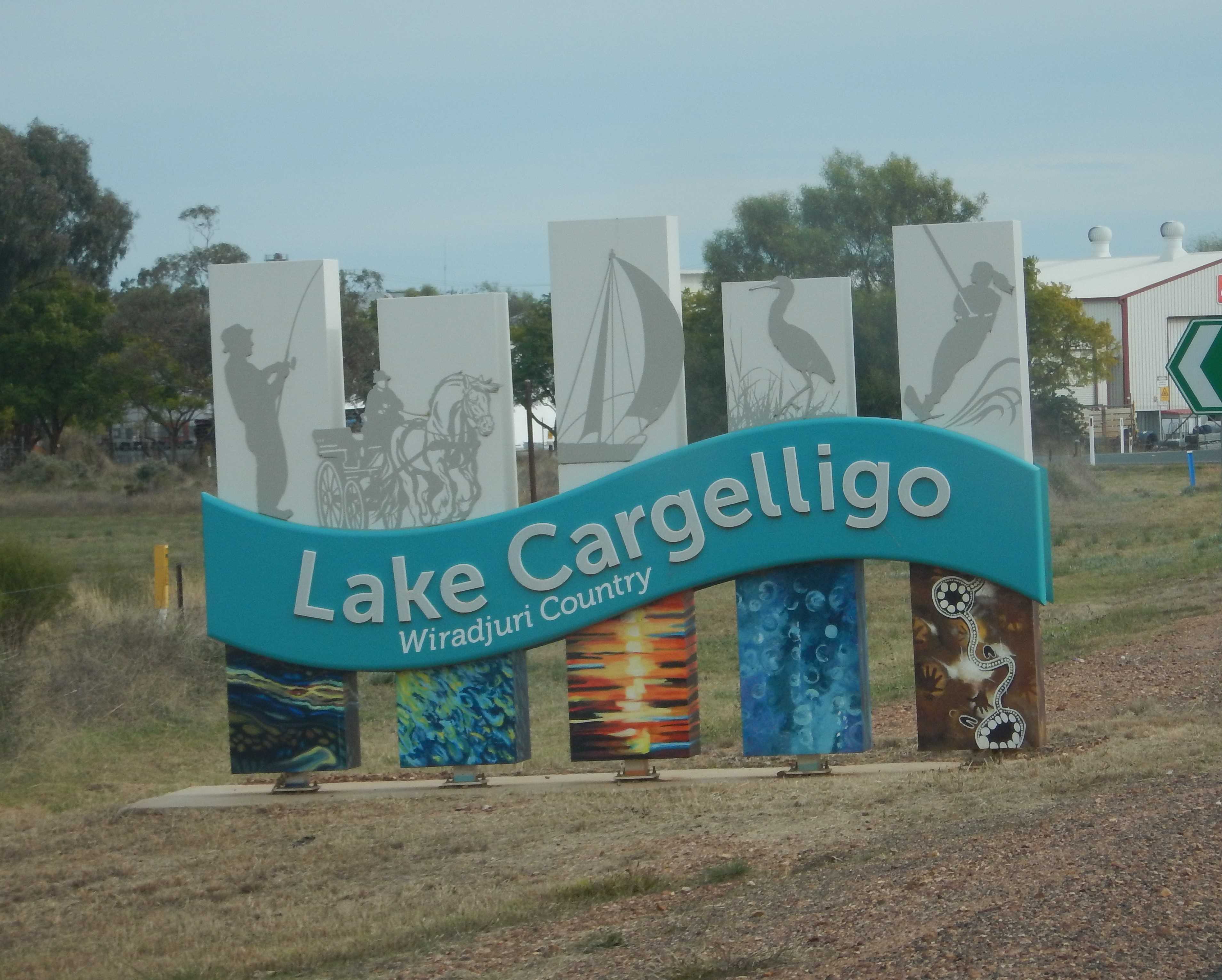
Lake Cargelligo comes into view as we near town - it is very large and there is a levee bank around this edge. Nice entrance sign.
There are two free camps here so we checked out the first one, Frogs Hollow. Parked up the top for a cuppa and checked out the lake’s information board. The original dam was constructed in 1885 and more work done in 1901. Lake Cargelligo is the largest natural inland lake system in NSW with a volume of 36,000 mega litres and a surface area of 1,440 hectares with an average depth of 3.7 metres.
.JPG)
.JPG)
Walked down the path reading more information about the sawmill and ochre pits then checked out the ochre beside the water’s edge.
.JPG)
.JPG)
.JPG)
.JPG)
.JPG)
.JPG)
Frogs Hollow free camp - nice spot on a warmer summer day! A few travellers are already parked up. The others we met at the ‘Bird in the Hand’ sculpture had said to come here as there were hundreds of pelicans. None today - cold and windy, they have probably on their way to Lake Eyre following the water flow.

Walked back to the truck then saw another sign further along the walkway. It was about where they crushed ore to get to the gold they found underground in the centre of town.

Drove into town via the huge grain silos. Not sure why this one is a different shape to the normal ones.
.JPG)
.JPG)
.JPG)
Parked near the site of the gold mine.
.JPG)
.JPG)
.JPG)
Wandered down the street towards the lake.
.JPG)
.JPG)
.JPG)
.JPG)
.JPG)
.JPG)
.JPG)
.JPG)
.JPG)
.JPG)
.JPG)
Liberty park by the lake has memorial trees everywhere.
.JPG)
.JPG)
.JPG)
Some more history boards by the lake.
.JPG)
.JPG)
.JPG)
Into the Information Centre. The lady said the lake was only at 75% at the moment as they are doing some work on the levee walls - we did notice that as we drove in. Got some brochures and checked out their displays. John Bow, one of the bushrangers from the Escort Robbery is buried here.

Alf Tyack’s rock collection is housed here - beautiful, such fabulous display.
.JPG)
.JPG)
.JPG)
.JPG)
.JPG)
.JPG)
Interesting solar system just out of town.
.JPG)
.JPG)
Wandered back up the other side of the street. Still a few trees with their autumn leaves.
.JPG)
.JPG)
.JPG)
.JPG)
.JPG)
.JPG)
.JPG)
Back up to the truck then around to the water tower. Walked around the fenced area to get the full mural created by Heesco in 2022.
.JPG)
.JPG)
.JPG)
.JPG)
.JPG)
.JPG)
.JPG)
.JPG)
The ‘happy family’ birds are having fun trying to balance on the wire. I should find out what they are call but they are always so happy dashing around together.

Down the road 3km to Deadmans Point, the other free camp spot. Nice big grassy area up on the rise and picnic tables etc down by the water. We parked there to make lunch but no sitting outside as the wind is hard and cold though the sun is trying to shine through the thin cloud. Saw a few pelicans fly by, low over the water.
I did walk over to read the signs though. Very interesting history about the wool wash and how the point got its name. Shame the sketches are getting hard to view.
.JPG)
.JPG)
.JPG)
.JPG)
.JPG)
.JPG)
.JPG)
Looking back towards town.

Back up and around the edge of the ‘airport’ where we spotted some draught horses. I read in the brochure that there is a working draught horse museum here.
Onto Weir Road (or as per our Hema, Regulus Lane) to explore the lake surrounds and find the weirs as we saw on the map.

The road took us through some farms and up to the Lachlan River. We stopped and walked over to have a look. Flowing fast.
.JPG)
.JPG)
Continued on the dirt road across Lake Creek which was flowing fast. Water is released from the dam via the creek and back into the Lachlan River.
.JPG)
.JPG)
The sign says ‘dry weather road only’ but by the looks of it others have been driving over it when it was wet. We dodged the eroded bits and continued on to a fence line that had ‘see station before entering’ and the track was really rutted out ahead so we turned around.

Back over the creek and back into town.

Found another history board about the brick kiln as we came into town on a different road.

Through town and out the way we had come into town before. This is the solar towers that we read about in the Info Centre.

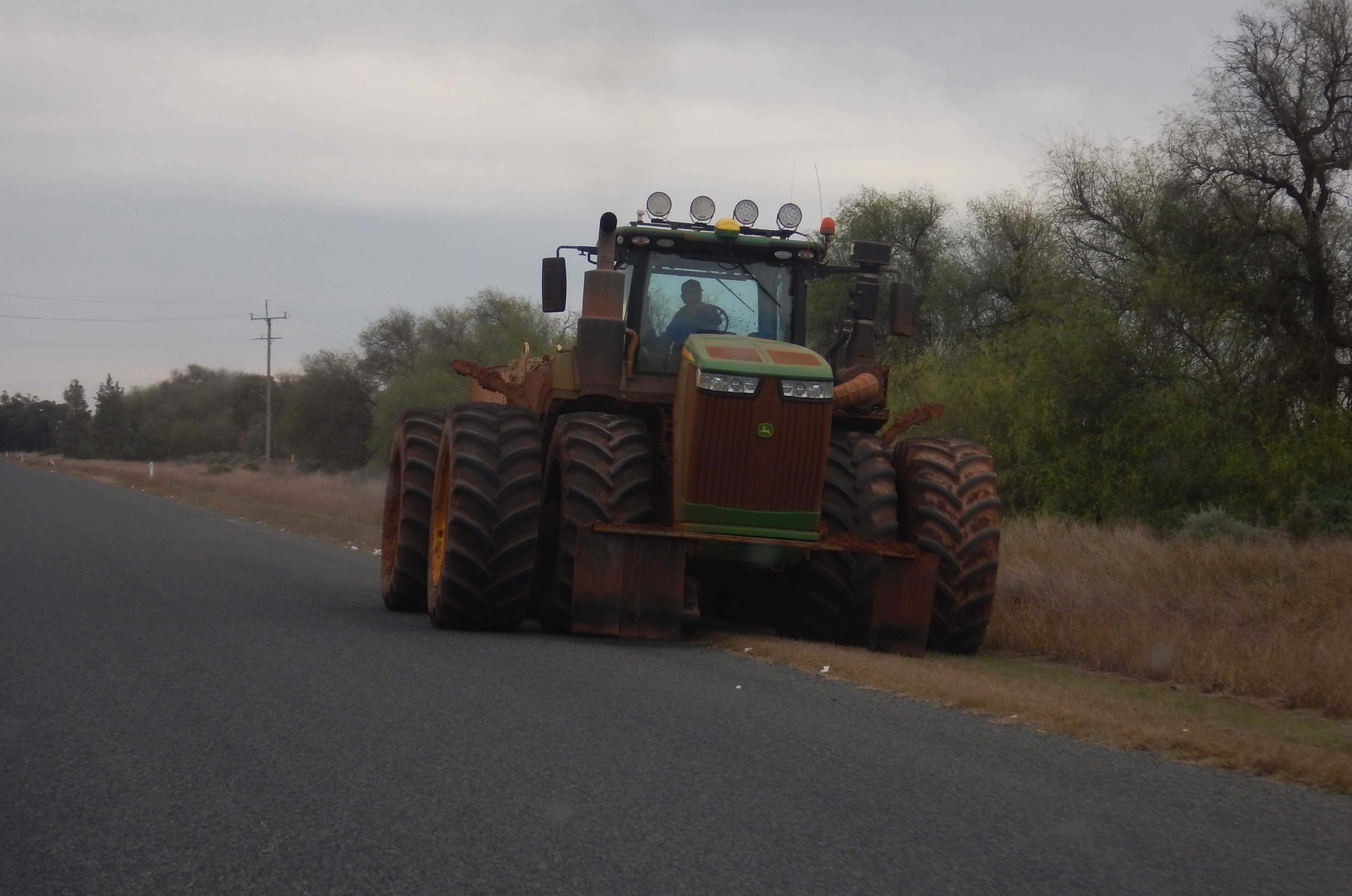
Turned off onto Curlew Road. A truck loaded with cotton came passed us. Further along farmers were trying to move their equipment along the road - very wide so we got off. They were covered in mud too.
After 14km we eventually arrived at the turn off to the Weir. Glad the rain has started yet or we wouldn’t be seeing any of these places as the road just goes to mush so quickly with just a little bit of water.
Across the Inlet Regulator. Some old timber posts at the junction of the river and the channel. The water goes into the next ‘lake’ called Sheet of Water then Curlew Water before reaching the main lake.
.JPG)
.JPG)
.JPG)
.JPG)
Along the dirt track to the weir. Nice spot for a picnic.
.JPG)
.JPG)
Walked down to the weir then around the fenced area to the other end. I think the grated section is the fishway and they go up through the little slot in the concrete.
.JPG)
.JPG)
.JPG)
.JPG)
.JPG)
We spotted another water rat making it’s way to the rocks.
The water continues down the Lachlan River towards Hillston.

Back to the regulator channel and we spotted a mob of kangaroos. All happy to stand and pose for a photo rather than bounding off.

As we are halfway up to the next township we decided to continue on as with the wind it wouldn’t be pleasant to be sitting by the lake and there will be no sunset views tonight. Certainly a nice place to come back to.
The bitumen road turned into gravel but it was all good. Met the Lachlan Valley Way (gravel), flocks of galahs zooming in front of us but couldn’t keep up the race. Vibrant green fields stand out against the cream grass or red dirt fields.
Across the Lachlan River at the edge of a small township of Euabalong. We turned off and checked out the camping area by the river. Black soil so no good in case the rain does come so we went back up onto the high ground where there is still grass and not far from the road. The rain is forecast for tomorrow now.
Nice spot overlooking a bend in the river.
.JPG)
.JPG)
.JPG)
A couple walked down with their fishing rods. They had just lost a nice Murray Cod on the other side so decided to try here. A chap drove by and stopped to chat with Steve about the truck. No fish got on their lines so they headed back.
I worked on my blog for a while and Steve collected some firewood as the wind has stopped. We sat outside with the nice heat from the fire pit - Steve got the words the correct way this time.
.JPG)
.JPG)
Sulphur-crested cockatoos were having a battle with black birds (like crows but I think they are Little Ravens after consulting Google - they sounded different). They fought over the trees but eventually flew off somewhere else - thank goodness. 5.30pm it is all quiet and darkness has fallen.
We sat outside till 6.30 which was lovely. Put the heater on so it was nice inside when we went in for dinner.
No comments:
Post a Comment