Fran’s birthday today - sent her a message and will call her later.
Warmer night, min was 16.3 at 7am which was when the sun was rising. Ray and Carol are early risers so they headed off as we were getting up to have breakfast! Lots of birds about and a lot more traffic going over the bridge so not the quietest spot!
8.30 and we were on the road heading to Longreach. Across the Thomson River - plenty of water.

Into Longreach - lots of activity. The Spirit of the Outback train is at the station. We explored this and the dinosaur towns with the boys in 2003 but a lot has changed so will have to stop and check things out again one day. Bigger planes at the Qantas Museum too.

Continued on - we drove this section of road in 2018 too when we came across to fossick with Erica & Terry at Sapphire but again we didn’t get the chance to stop and explore the little towns etc around this area.
Through Ilfracombe - the line up of tractors etc in the Outdoor Museum is still there.

The grass plains continue. Stopped for a cuppa and watched the parade of RVs heading east and west - so good to see so many people enjoying travelling.
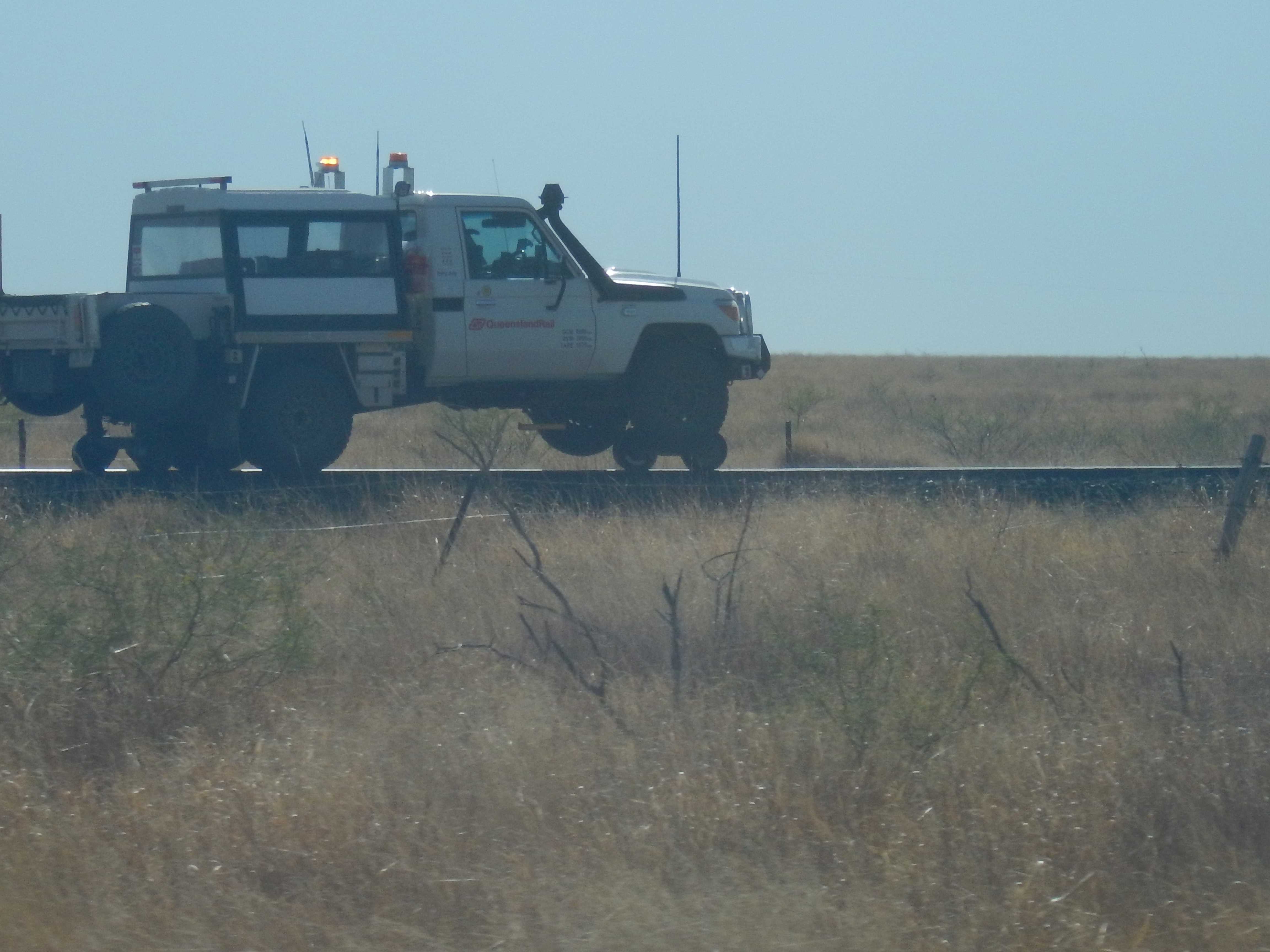
A rail car went by - one way of avoiding the busy roads!
Passed some yards full of sheep heading into the shearing shed. Wide cloud band to our left.
Straight on the far side and fluffy on this side.
Spotted a heap of emus which is a Mob (google is handy) wandering along the fence line on the other side of the rail line.
Into Barcaldine which is the end of the Landsborough Highway. The main street is lined with RVs so we are glad we stopped for a cuppa earlier. The Tree of Knowledge is still dead under the big framework.
.JPG)
.JPG)
Continued eastward on the Capricorn Highway. Good free camp on the east side of town.
Through a small neat town of Jericho. The RVs keep coming.
Rolling up and down rises. Sign on top of a rise said 444m Great Dividing Range.
Rolling up and down higher, wider rises as we continue eastward. Into Alpha, a nice little place. Stopped for lunch and topped up with diesel ($1.909/L). Saw a sign for a fossicking area nearby for fossilised wood.
Continued on the Capricorn Highway towards Emerald.
The cloud band has spread over us. Straight road heading to some mountains (Drummond Range).
Across lots of channels of the Belyando River which is full of water.
Up and down the Drummond Range hills (highest point 535m). Nice view down the steep descent.

Spotted a Bottle Tree in the middle of a paddock with a few cows sitting around its base. Google says “The Queensland Bottle Tree is native to Central Queensland and gets the bottle shape usually within 15 years of age. They grow from here south to northern NSW between the latitudes of 22 to 28 degrees south. Boabs are also called bottle trees but they are not related. The largest one is in Roma, girth 9.62m, height 15m and crown of 23m. It was transplanted from a private property in 1927 by the Roma Town Council.” Will mark that on my map to see when we visit Roma.
Passed the turn off to Sapphire and Rubyvale where we did some fossicking with Erica & Terry in 2018. New road to mark on my map as we continue on to Emerald. Nearly as rough as being on the dirt!
Passed some cotton and milo fields - lots of cotton on the road’s edge. There is hay recently cut too - some rolled and some waiting to be rolled. The harvested cotton is rolled up in this yellow stuff.
.JPG)
.JPG)
.JPG)
Spotted smoke in the distance - big fire somewhere.
Into Emerald. Pulled up at a park near the Info Centre for a cuppa. Wandered over to check out the Big Easel. Impressive.
.JPG)
Wandered along the mosaic history path (recent to old) around to the back of the history village next to the Info Centre. More things to check out on a return visit. Loved the second quote on the first plaque.
.JPG)
.JPG)
.JPG)
.JPG)
.JPG)
.JPG)
.JPG)
.JPG)
.JPG)
.JPG)
.JPG)
.JPG)
.JPG)
.JPG)
.JPG)
Love this tree.

Looking back to the painting.

Ray & Carol reached Augathella - great free camp there so staying there the night. We are going to keep moving.
Through town - quite big, street lights and roundabouts. Across the Nogoa River where heaps of RVs are parked under the rail bridge - be a bit noisy.
Out of town a bit then we turned right (south) onto the Gregory Highway heading to Springsure.
Passed the turn off to a huge lade - Fairburn Dam/Lake Maraboon. Looks nice on the picture.
The cotton trail by the road continues. Could have picked up a bails worth so far.
Big range of hills in the distance to our right - Minerva Hills. Lots of pinnacles standing out.
.JPG)
.JPG)
Plenty of RVs parked up in a rest area before Minerva Hills National Park which is just before Springsure. Nice little town. Got a photo of a couple of Bottle Trees.

The Gregory Highway finished here so we are now on the Dawson Highway. Rolled our way through more hills. Pulled into a rest area at the Staircase Range Lookout. Named after the sandstone escarpment which does look like it steps down like a staircase.
.JPG)
.JPG)
.JPG)
We were considering stopping here but the noise of the trucks pulling up the hill and the brakes on the ones going down made us decide to continue on.
Back down to the flat, open grasslands again. There were a few gravel pits marked on Wikicamps but they are all overgrown now but eventually we found one with plenty of room so we parked up for the night.

Rang Kaylene and Rick for a chat while we had our late drinks.
No comments:
Post a Comment