6.7 degrees in camper as the sun starts to rise. Definitely felt colder outside when I put my head outside to take a photo.

Put the heater on at sunrise and got back into to bed till it warmed up.

Packed up and headed back onto the highway and into Northern Territory under bright blue sky.
Passed the turn off to the start of the Len Beadell’s Gunbarrel Highway that we took in 2018. We did what we were allowed to do of it, that is.
Boulder covered hills along here. The red sandy soil, cream grass and green shrubs and low trees continue. Saw a few wedgies and crows having breakfast.
Passed the turn off to Ayres Rock - good to see it is still called that on the sign as well as Uluru.
Had our cuppa with friends at Erldunda Roadhouse. Going down then back up when others came over. They were making their funny calls. Interesting watching them drink.
.JPG)
.JPG)
.JPG)
.JPG)
.JPG)
.JPG)
.JPG)
.JPG)
I think I took all these mural photos in 2018 but the info is good so I took it again.
.JPG)
.JPG)
.JPG)
.JPG)
.JPG)
.JPG)
Great map in the info booklet.

More desert oaks and bigger trees now and a few hills as we continued northward.
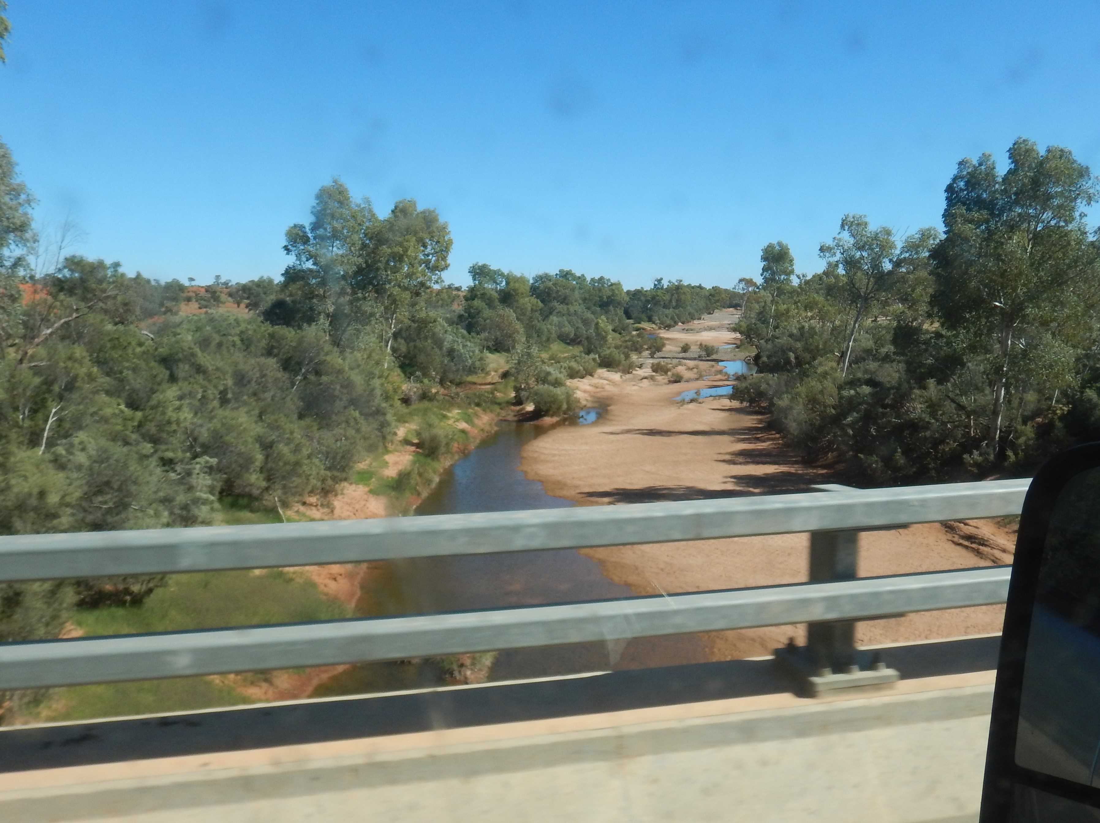
Across the dry Palmer River which when it has water flows into the Finke River which is further north.
No big signs about the stations now we are in NT but I saw a sign saying we are on Palmer Valley Station. Lots of interesting shaped hills around here.
.JPG)
.JPG)
The grassy country continues with flat topped hills now.
Turned off onto the gravel Ernest Giles Road to check out Henbury Meteorites on Henbury Station. 11km along we turn off to travel another 5km through a long line of hills to where the meteorites crashed into the earth.
.JPG)
.JPG)
Checked out the information. We visited the Boxhole one last year when we did part of the Binns Track.
.JPG)
.JPG)
Through a gate then we followed the track up the big one, which is actually two.
.JPG)
.JPG)
.JPG)
.JPG)
.JPG)
Continued around the top edge. The spurs that had divided the two craters.

Around the edge to one that holds water after rain.
.JPG)
.JPG)
Down the wall between that one and another crater.
.JPG)
.JPG)
There are more smaller ones but they aren’t marked for us to see. The wind still has a cold bite to it even with the warmth of the sunshine.
Back through the hills - better view this side. Then the view along the edge of the long one.
.JPG)
.JPG)
.JPG)
Spotted cattle around a water hole that looked like it was a crater!

Back to the highway and then across the Finke River to stop for lunch in the rest area. Just a bit of water upstream.
Still slowly climbing, 470m elevation.
Passed the Cannonball Memorial. Don’t think we will be getting the truck wound up like we did with ‘Pat’ when we came onto the straight. Allowed to do 130kph here but we will put along at 95 - better fuel economy.
Passed Stuart Well Roadhouse and camel farm. None in the front paddock this time. Through the gap between the hills and we climbed to 530m now.
Turned off onto a gravel road for 22km drive into Rainbow Valley Conservation Park. There is a long range over to our right - James Range. Lots of green ground cover from recent rain.
.JPG)
.JPG)
The red soil section was quite corrugated and rutted in the middle where people have driven on it when wet. The white road base section was very smooth. The breakaway comes into view.

Read the information in the hut.
.JPG)
.JPG)
.JPG)
.JPG)
Walked up the matted path to the lookout.
.JPG)
.JPG)
Followed the path down. Lots of white caves in the other hills.
.JPG)
.JPG)
Bit of info and pretty flowers as we head down to the edge of the claypan and end of the hill.
.JPG)
.JPG)
.JPG)
.JPG)
.JPG)
.JPG)
.JPG)
.JPG)
I love how nature creates such pretty artwork in the sandstone. What animal do you think this looks like?
.JPG)
.JPG)
.JPG)
Interesting ‘art’ on the other hill.
.JPG)
.JPG)
Around the end of the hill to Mushroom Rock.
.JPG)
.JPG)
.JPG)
.JPG)
.JPG)
.JPG)
The other side of the breakaway. It is fenced off so can’t continue around the breakaway.

Huge melon on the track though it looks more like a water melon then the bush melons. Steve found a few more further around.

More interesting weathering. Steve found the grinding hole. No rock art under here.
.JPG)
.JPG)
.JPG)
.JPG)
Walked back in the sand around the edge of the salt lake. Nice photo from here.

The wind has stopped so we had to take off our coats as it was getting hot in the sun.
Found who is making the little tracks in the sand - a little bug but his 6 wheel drive was getting bogged getting up the little rise.
.JPG)
.JPG)
We could hear some birds in the tree ahead. Green budgies who didn’t fly off so I could get a photo for a change. Then a pigeon arrived scaring off the budgies.
.JPG)
.JPG)
.JPG)
Finished off with another info board about the grinding stones.

When we got back 10 vehicles had arrived. Chatted with one of the ladies. They are family and friends from Brisbane doing a 3 week trip and just came up from Finke on the Old Ghan Railway road. They had a few vehicle issues but otherwise have been having a ball travelling together. We had a cuppa and Steve chatted with the guys parked beside us, about their vehicles of course.
We headed off before they all got underway. A flock of light pink galahs took off in front of us but then zoomed across in front of the truck. Luckily we didn’t hit any.
.JPG)
.JPG)
Back to the highway and continued northward. Over a rise and we reached 590m elevation and the Waterhouse Range comes into view. Our Hema 4WD maps are great for information about the hills, bores etc.
Passed the turn off into Owen Springs Reserve. We noticed a gravel pit off to the right but continued on to find where we camped by the road in 2018. There is a rest area but it is very small. Couldn’t find our last camp - the grass has grown up over the track. Decided to go back to the gravel pit to get further away from the highway.
Pulled in and it is a big area so we chose a spot and set up.

The warmth disappeared quickly with the lowering sun so got the heater going for drinks inside.
Another traveller pulled in and parked up further along from us.
The wind has picked up again.
No comments:
Post a Comment