The fire seems to have settled around us but the smoke is hanging heavy over us and we can definitely smell it now. It appears to be cloudy too which won’t help.
We decided to leave detecting around Pine Creek for a bit because of the hot ash ground and more fires that might get lit.
As we headed out we found the fire was still burning near the main road.

Something has been wandering along the road leaving huge piles of dung - probably a buffalo. We stopped at the Mary River Roadhouse but it looks like it won’t be opening this season.
Continued on into Kakadu National Park.

The ranger station is a far way in. Up a steep hill passed the lookout which wasn’t much because of the smoke. At the top we spotted a new sign so pulled up for a look as we didn’t stop here 30 years ago.

Had a cuppa and pulled on our sandshoes and hats ready for a walk as the sign doesn’t say how far it is and there is nothing on the bit of info I do have or the map. A couple of fallen trees after small fires had been started but didn’t spread.
.JPG)
.JPG)
These trees are starting to bloom everywhere.
.JPG)
.JPG)
Dark clouds are hanging over us as we appear to be approaching a creek so it wasn’t a long walk in.

Lovely little rapids here.
.JPG)
.JPG)
We followed the narrow path along the creek. Then it opened up to a big rocky area.
.JPG)
.JPG)
.JPG)
.JPG)
.JPG)
.JPG)
.JPG)
Looking back where the creek had split and then rejoined again.
.JPG)
.JPG)
.JPG)
.JPG)
A few nice spots for a dip too as we continued along the other side of the creek on the rocks.
.JPG)
.JPG)
.JPG)
.JPG)
Down to the top of a longer fall which dropped into a bigger pool. Then it continued over the next drop.
.JPG)
.JPG)
.JPG)
.JPG)
I moved across to get a better view down the valley.
.JPG)
.JPG)
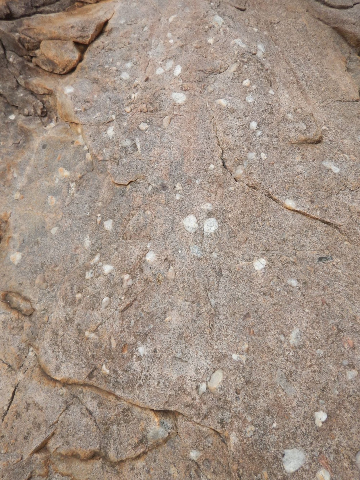
Didn’t climb down any further. Headed back - lots of quartz pebbles embedded in the rocks.
Back to the truck then we headed back down the hill again to the lookout in case we can see the falls but no just the smokey view and the rocky gorge.
.JPG)
.JPG)
We drove back down the bottom to where we had noticed a track going off. There was no sign saying ‘no entry’ so we headed in. We came to a dry creek and the track headed up the other side but was eaten out so we parked up and walked. ‘Smokey’ would get up it easily.

Further along we came to a sign - Lower Ikoymarrwa Falls (Rock Hole) and then a big open day use/camping area but there were no signs about that.

Mr Buffalo has been here too - Steve was impressed with the pile.

A big sign about the dangers of crocs at the start of a track to the falls and then one saying to watch for submerged objects so no diving!!
.JPG)
.JPG)
The track continued along the edge of the hill then down to the creek.
.JPG)
.JPG)
A bridge - made in 1959, is still providing access across so we can see the falls. Obviously a popular spot back then. We had passed Moline on the way - there was a couple of house and a golf course then a road in the other direction going off to a mine.
.JPG)
.JPG)
.JPG)
Nice big pool to the falls. I spotted a turtle just to the left of the falls but no crocodiles.
.JPG)
.JPG)
.JPG)
.JPG)
Behind us the water sits in a side pool or goes off the other side down the creek.
.JPG)
.JPG)
Lots of fish here too.
.JPG)
.JPG)
There is a tree on the edge with a web of roots in the water and some spiders have made some great webs across the top.
.JPG)
.JPG)
.JPG)
As we headed back Steve spotted a lizard and said to take a photo - he has a thing about lizards I think! He is cute but didn’t hang around when I started to get closer.

Back to the truck and we headed back out. Just near the entrance I saw a tool box on a post and had a look inside. There was a book for commercial tour operators to fill in. Maybe it is only for their use but there are no signs about it.
Back up the hill and on to the Ranger Station which is just before the turn off into Gumlom Falls. Checked out all the info in the car park.
.JPG)
.JPG)
.JPG)
.JPG)
.JPG)
.JPG)
.JPG)
An old bull catcher as we head in.
.JPG)
.JPG)
Plaques about when they aborigines were granted the title to the land in 1996. I was thinking they should be called TC’s (Traditional Custodians) rather than TO’s (Traditional Owners) as they say they don’t own the land - Country owns them.

Sadly some of the displays are disappearing under the fallen trees etc like this one about the geology of the area. Steve moved a few limbs but there is a bigger tree fallen across the named rocks etc.
.JPG)
.JPG)
Lots of old mining equipment from the uranium and gold mining days has been assembled with plaques around a plaque for a ranger who passed away near here.
.JPG)
.JPG)
.JPG)
.JPG)
.JPG)
.JPG)
.JPG)
This flying fox cable was used to winch people across the South Alligator River.
.JPG)
.JPG)
Inside there were more displays.
.JPG)
.JPG)
.JPG)
.JPG)
.JPG)
.JPG)
.JPG)
Great photos showing the falls in wet and dry seasons. The ranger said all the falls are still closed at present as they haven’t done their crocodile surveys to be able to open them up to the public.
.JPG)
.JPG)
.JPG)
.JPG)
The ranger showed us a video of a couple of fisherman at Cahills Crossing who were bringing in a barramundi and a 4 metre croc following it up onto the causeway. The barra was hauled away and another chap reached down to pick up his hat as the croc walked onto the causeway - obviously he wasn’t really wanting the fish or the man as they both survived. He said that access to the causeway is being closed as they are building viewing platforms so people can be safe to watch the crocs on the causeway. Imagine 30 years ago we put our tinny in the South Alligator River with the 4 of us and 3 year old Daniel and went fishing. Crocs were present but not such an issue as they were culling them back then.
There are a few of the other attractions open but it was the waterfalls we wanted to see so we headed back out of the park. The other couple from Edith River were there and they have booked a flight over the falls. We did a fixed wing flight over Arnhem Land etc from Yellow Waters and that was amazing back then.
The fire has burnt along the edge of the track as we drove back into our camp spot at Harriet Creek for the night. The birds are circling looking for a cooked lunch.

We parked in the same spot but the other way around to get the sun off the fridge - 35 degrees max today. Relaxed for the afternoon watching the galahs come down in pairs to eat the grass seeds.

The fire has come down to the camp area on the other side of the road so we are safe here. Only a light breeze taking the smoke away from us. Lots of crackling and some loud pops and bangs as it moves through the grass.
.JPG)
.JPG)
A couple arrived in a 4WD with WA plates and roof top camper. Later on we invited them over for a chat and had a lovely time with them - Shannon and (my memory is getting terrible) but they said their alternative names they use out sometimes is Sharon and Stephen so they laughed when they heard our names. They said Cahill Crossing and another campground they stopped at was so full of mozzies - day and night, hence they only had a quick look around and moved our quickly. They are heading back to WA via the Gibb. We showed them the camper to give them more ideas as this vehicle is an upgrade from a 9 month trip they did in a campervan.
As the sun has set we headed inside as a couple of mozzies have arrived. The breeze must have changed as we can smell the smoke more tonight.
Pikelets with rosella jam for dessert tonight - all home made. I was amazed at my pikelets - so big and thick - yum yum.
.JPG)
.JPG)
No comments:
Post a Comment